
Camiño da Ribeira route
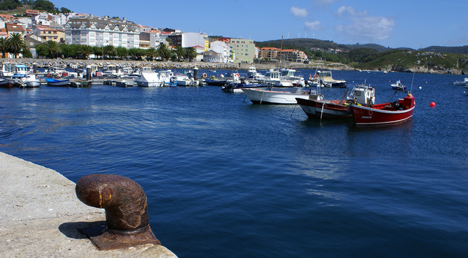
Port of Santa Mariña

This is a small harbour for traditional boats which is reached by a narrow road covered with dense forest vegetation. Beside the ramp is a row of fishermen's shacks where fishing gear and boats are stored.
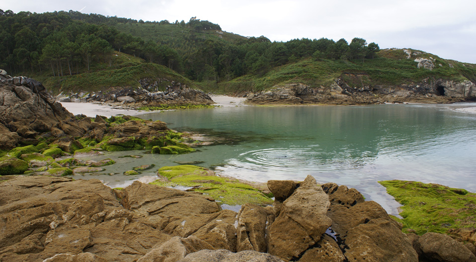
Niñóns beach

Located between two mountains in a rural area, Niñóns beach is shaped like a cove and has fine, white sand. Taking a stroll along a dirt road along the right side of the beach the path leads to a place called "el lago" ("the lake").
More infoMount O Faro

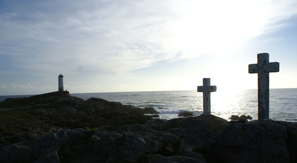
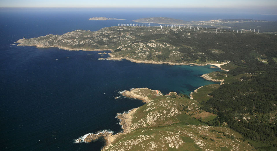
Mount O Faro's name refers to its former function as a place where torches were set alight to guide boats or warn of the arrival of the enemy fleet. This summit is also home to a shrine with a legend, the legend of Nosa Senhora do Faro, protectress of sailors.
Alto dos Loureiros

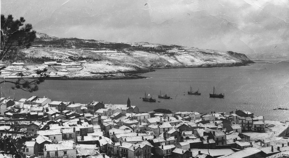
Once you've arrived at Corme's port and finished the Camiño da Ribeira hiking trail, you can take the alternative route called PR-G 148.1, which will take you via the Alto dos Loureiros to the Alto da Travesas. An alternative way to have a fantastic panoramic view of Corme and Laxe Estuary and the Anllóns river!


